The mountains of Saitama have so much to offer in terms of variety and beauty that hikers ought to take more notice of the area.
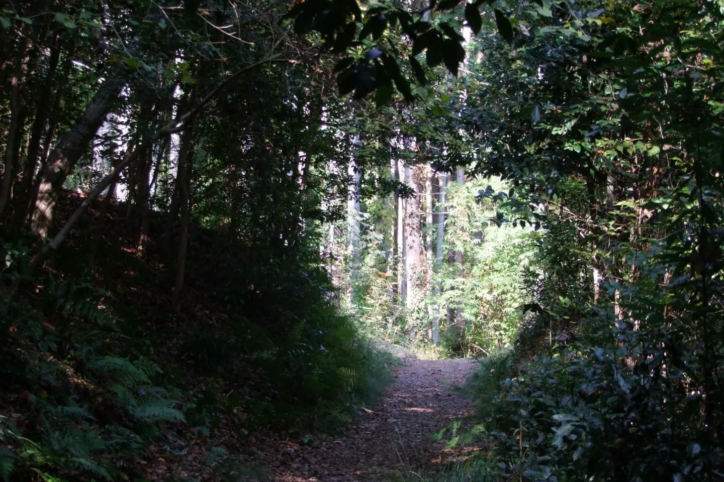
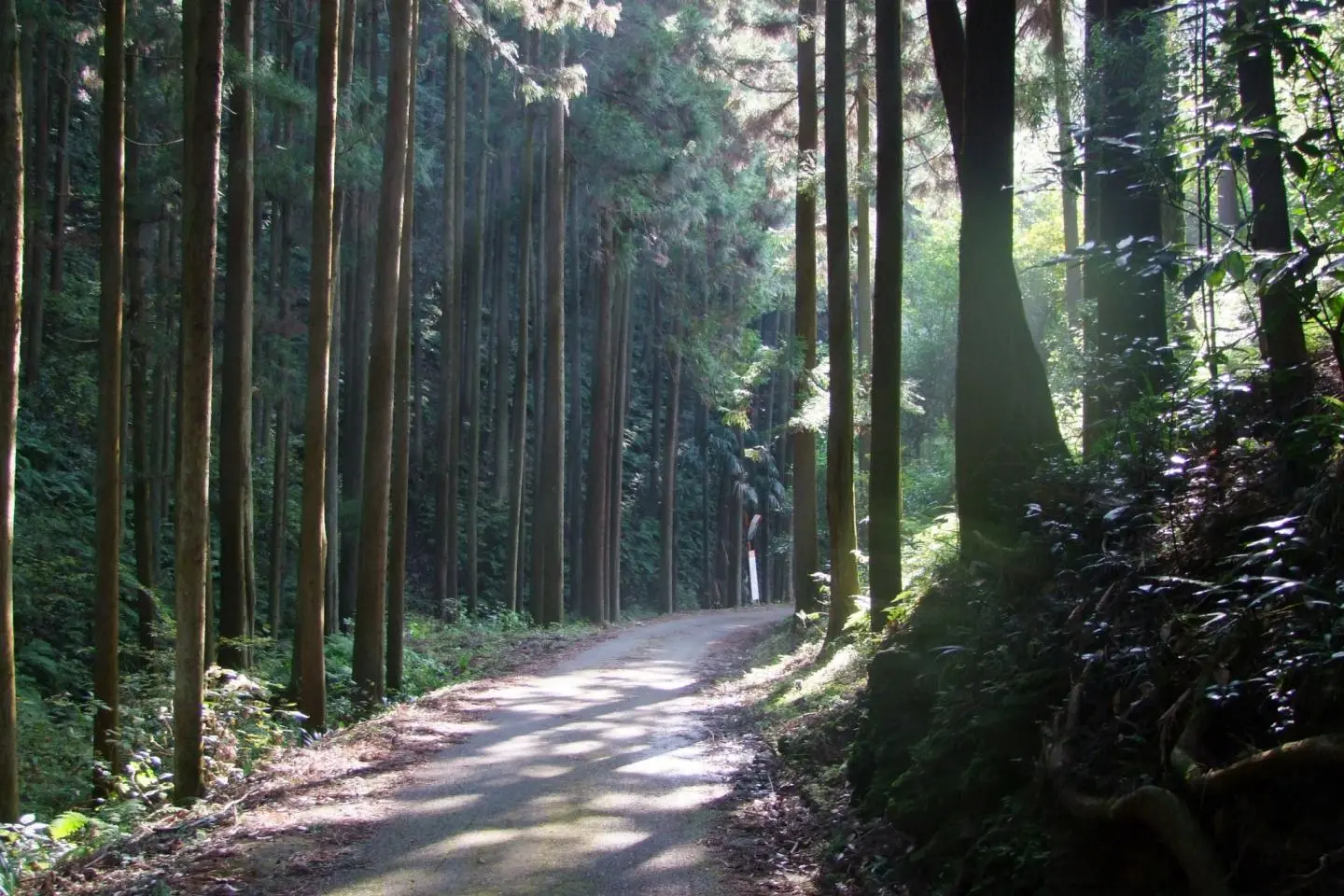
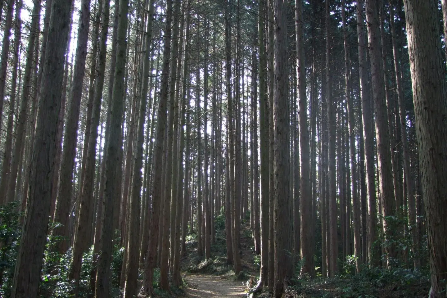
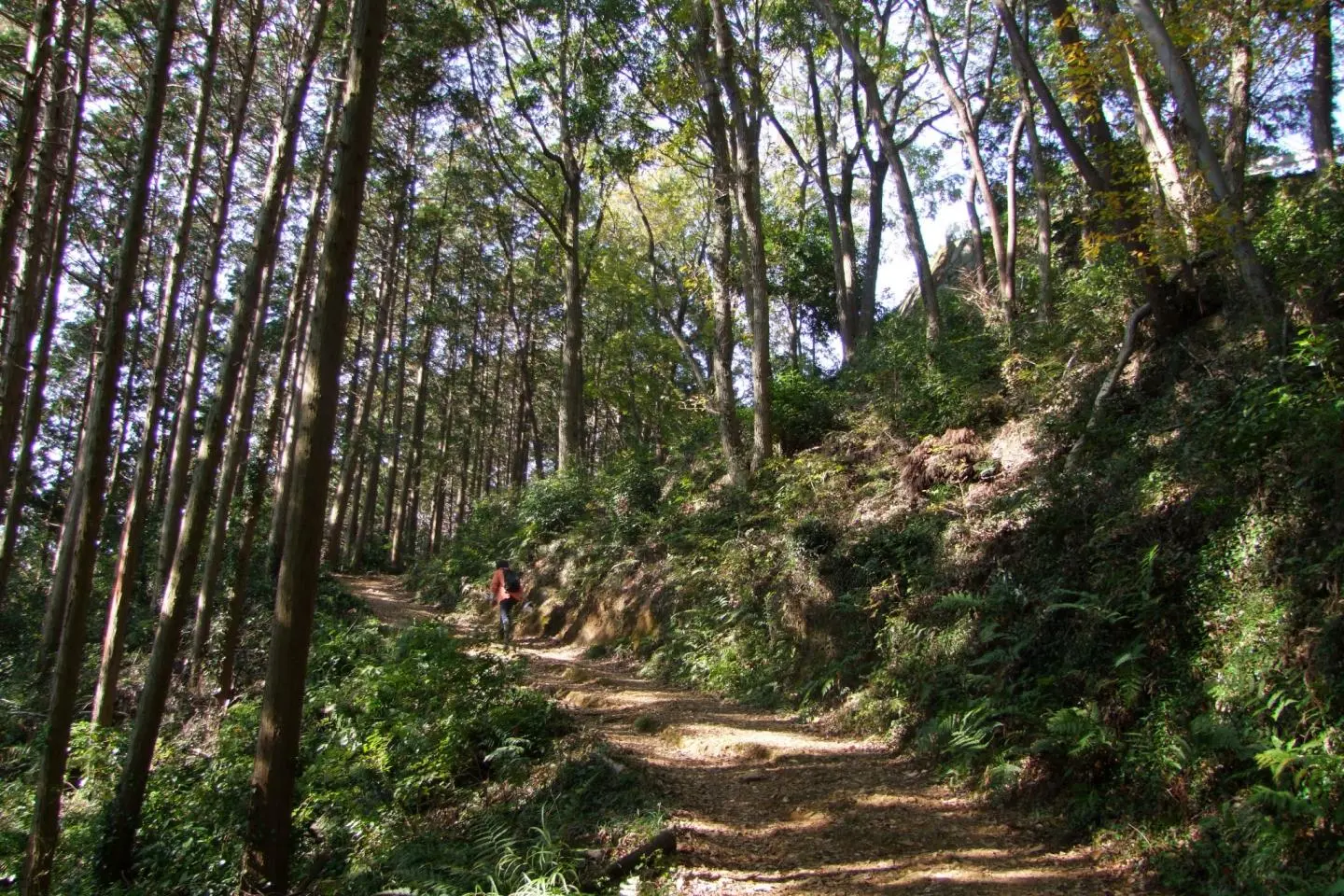
The Mt. Hiwada - Mt. Takasasu - Mt. Monomi Trail is a route through a trio of mountains located in Hidaka, Saitama. It takes hikers on a path through serene forests, pasts shrines, near a beautiful waterfall, and onto a handful of overlook points to admire the world below. The terrain is easy and manageable for people of all ages and abilities, and the entire route takes approximately 3.5 - 4 hours.
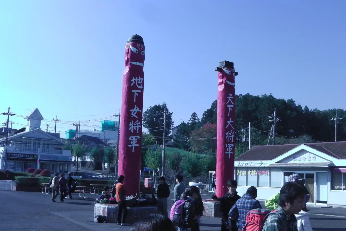
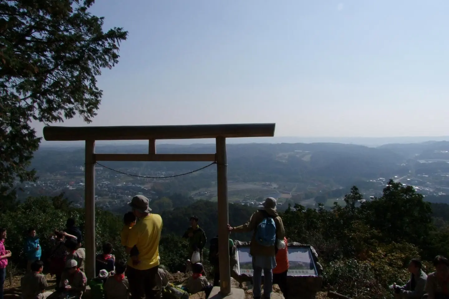
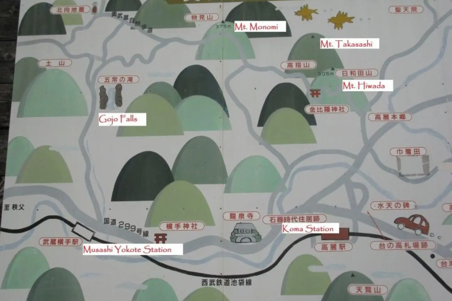
Start at Koma Station (高麗駅) on the Seibu Ikebukuro Line. Next to the station is a wealth of signs and information about the area's history (which is notable for its early Korean heritage, as marked by giant red jangseung - large red totem-pole like structures that protect from demons) as well as hiking maps. From there, it's a short walk to Mt. Hiwada (日和田山), the most popular of the mountains on this route, and is the most likely to be crowded. Its Kotahira Shrine has two awesome torii gates, one a stone giant in the forest, and the other a beautiful addition on a rocky ledge overlooking Tokyo and Mt. Fuji. Just shy of its summit (305 m) is a fork, where the right trail takes you to the peak and the left steers you towards the other mountains on this route.
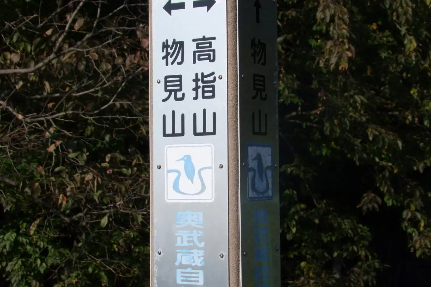
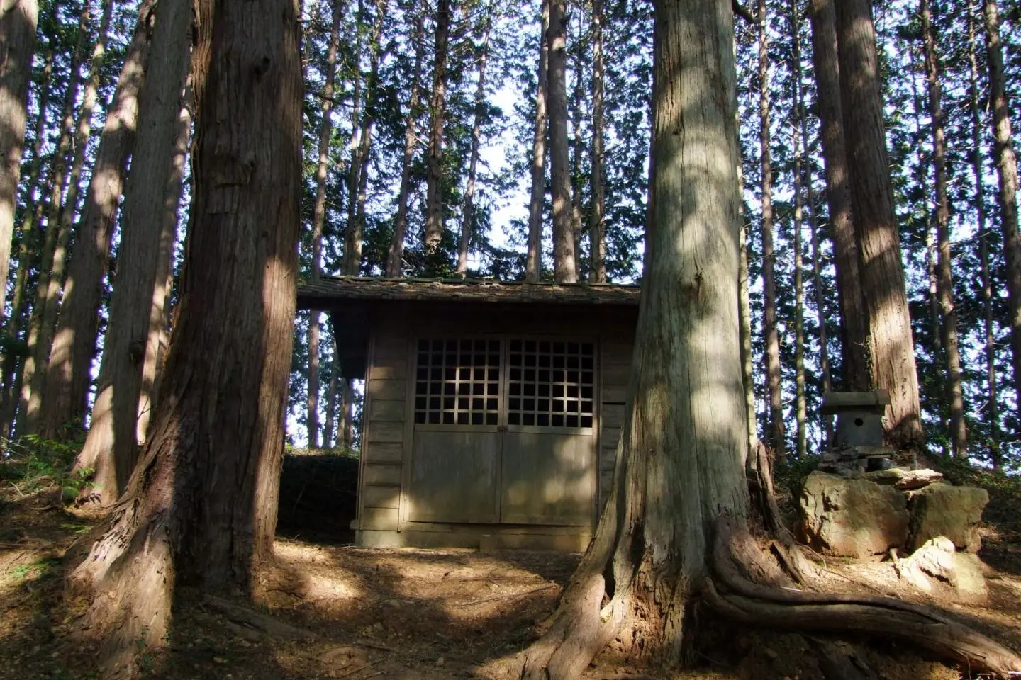
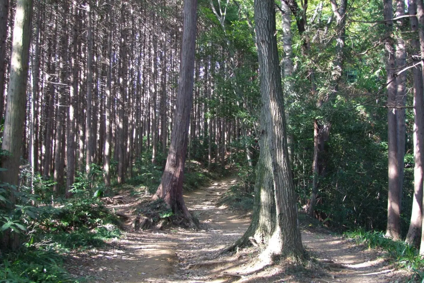
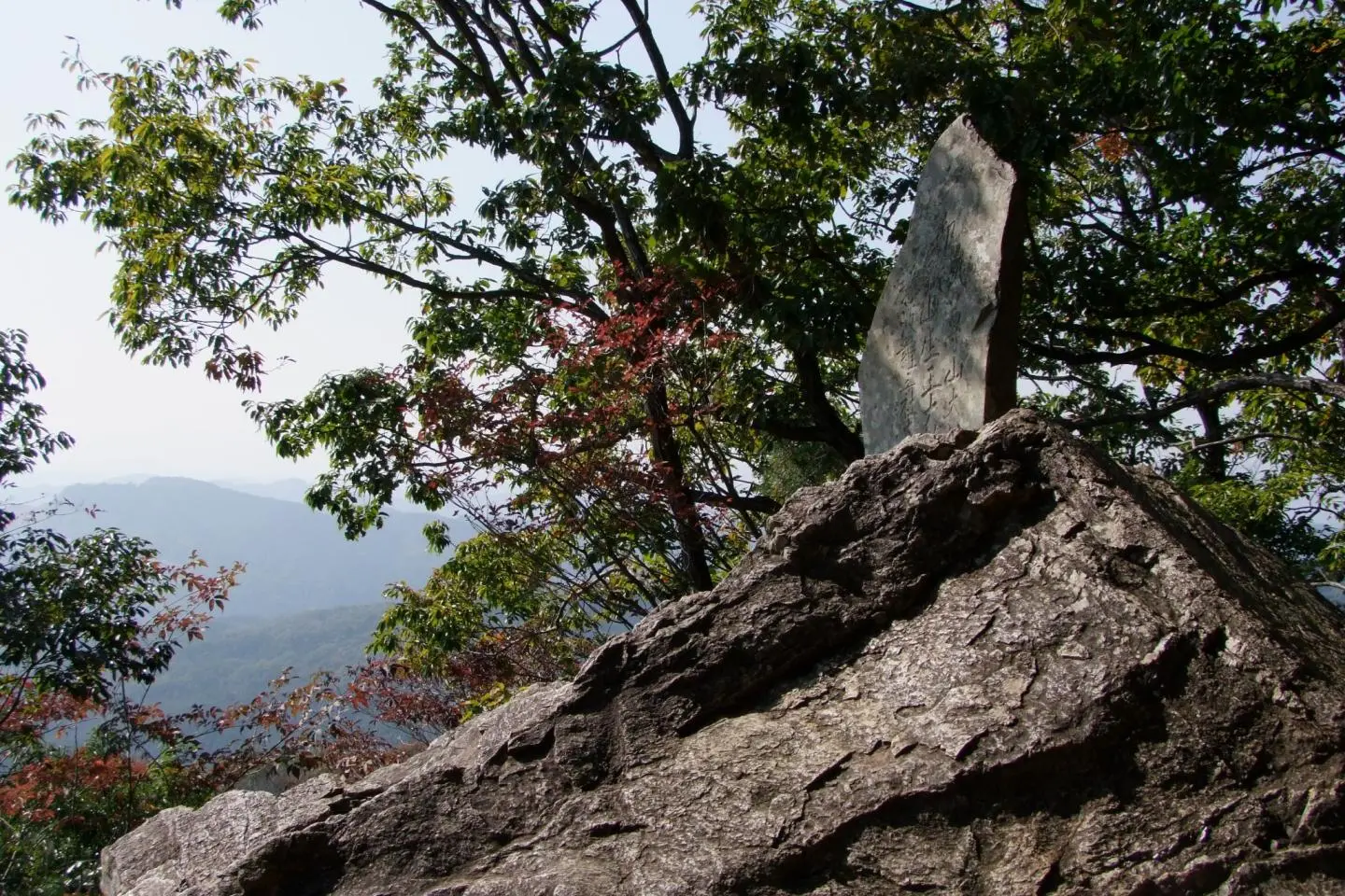
Following the trail takes you across beautiful forests to Mt. Takasashi (高指山), which has some broadcast towers and structures at its peak. Follow the road down and to the left, and be led to a beautiful opening between the mountains with a spectacular views. Around the bend, look for a trail marker pointing the way off to the right - this takes you past a very unique shrine and onto Mt. Monomi (物見山), which has a small picnicking area in a clearing at its summit (375 m).
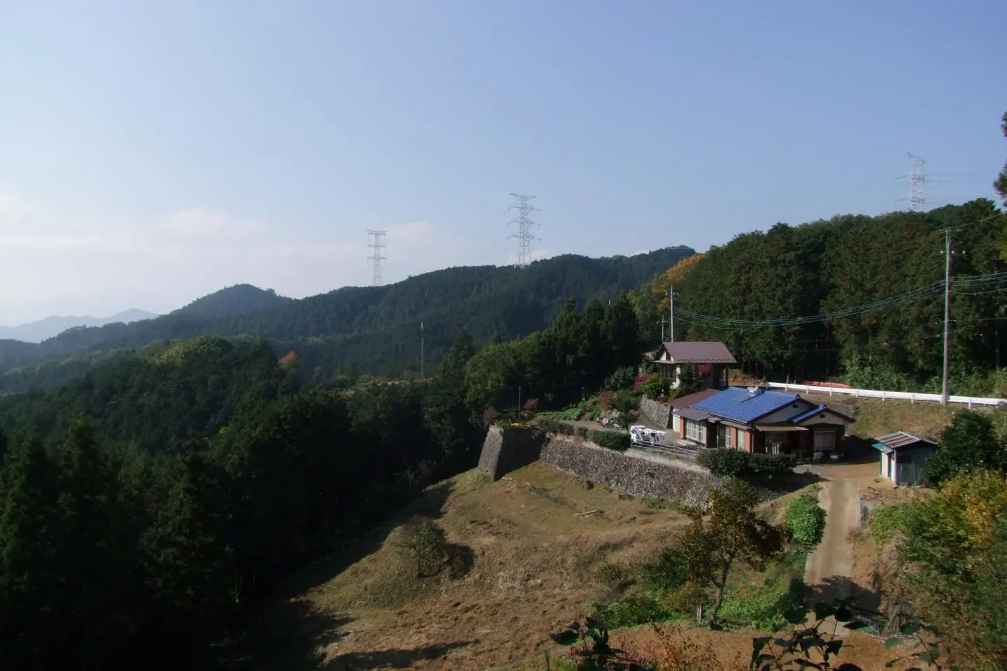
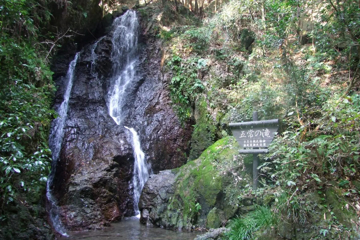
After Mt. Monomi, the downward hike takes you near some private homes, and then the final stretch of the route takes you past the beautiful Gojo Falls (五常の滝), a 12-meter waterfall in a beautiful area just off the main trail that's worthy of seeking out. The falls aren't easy to find - keep your ears open for running water and your eyes peeled for a small kanji sign at a break in the guard rail pointing the way.
After the falls, continue on the same road, which flattens out and takes you through some farmland before depositing you on the main road. Turn right and finish the trek at Musashi Yokote Station (武蔵横手駅).
Overall, this is a beautiful course to explore and spend a day. The hiking is easy (save for a short and avoidable stretch on Mt. Hiwada), and the way is well-marked, although most of the signs along the way have no English, so be sure to note the kanji of the key places to ensure that you don't make any wrong turns. Happy hiking.